QGISシリーズである.今回は茨城県の二次医療圏をカラーサンプルを使って塗り分ける.
データのダウンロード
国土数値情報ダウンロードサイトには様々なデータがある.今回は医療圏を使う.

スクロールしていくと目的の県に到達するので新しい方をクリックする.アンケートのGoogleフォームが開くので任意で回答してダウンロードする.

QGISを起動する
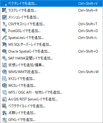
ベクタレイヤを追加
「レイヤ」「レイヤを追加」「ベクタレイヤを追加」とメニューをたどる.
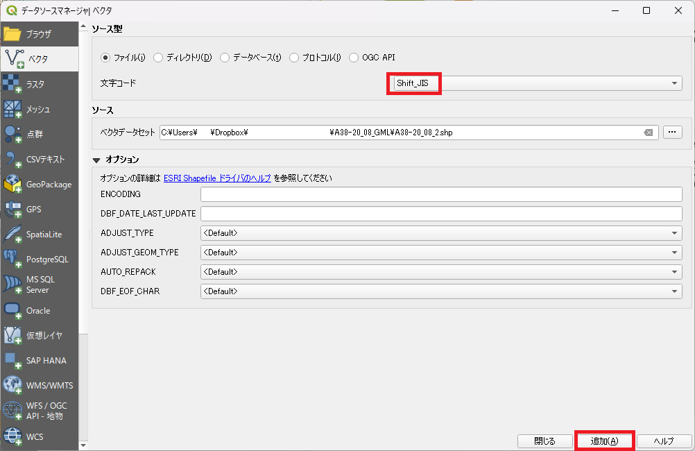
文字コードをShift JISとし,ソースを選択して「追加」をクリックする.
プロパティの設定
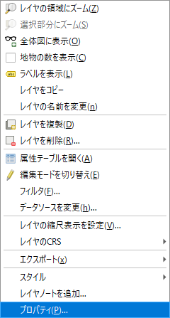
追加されたレイヤを右クリックして「プロパティ」を選ぶ.
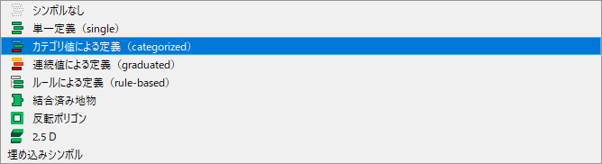
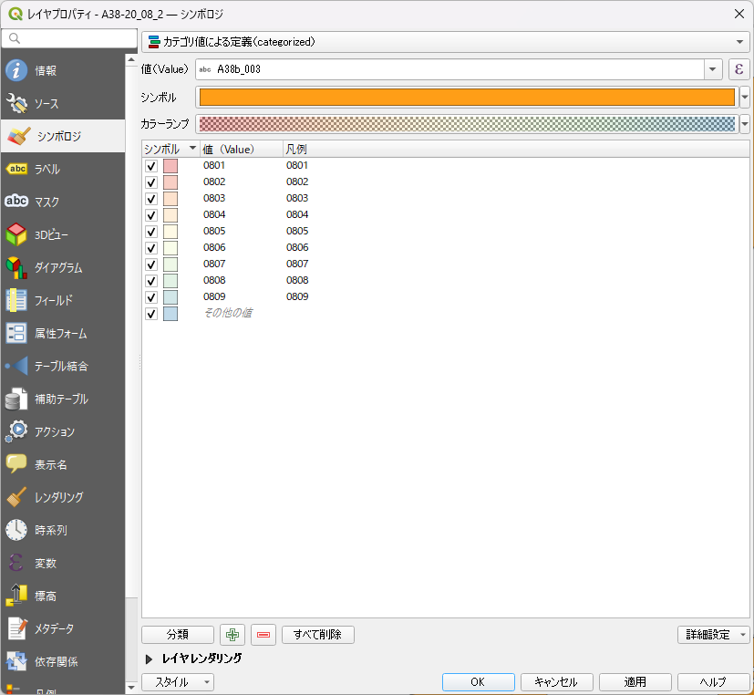
シンボロジから「カテゴリ値による定義」を選ぶ.
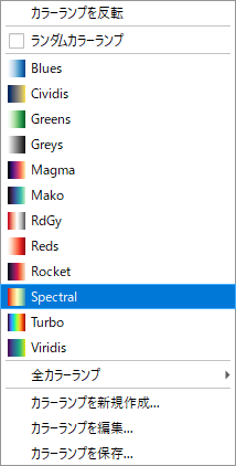
カラーランプはSpectralを選ぶ.
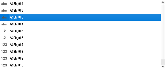
値はA38b_003を選ぶ.これは二次医療圏コードを示している.
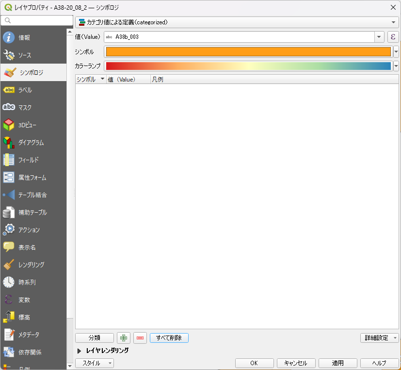
分類をクリックする前の状態.
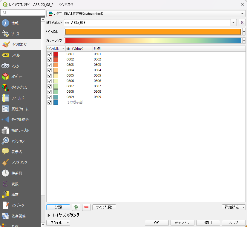
分類をクリックすると下図のようになる.
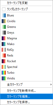
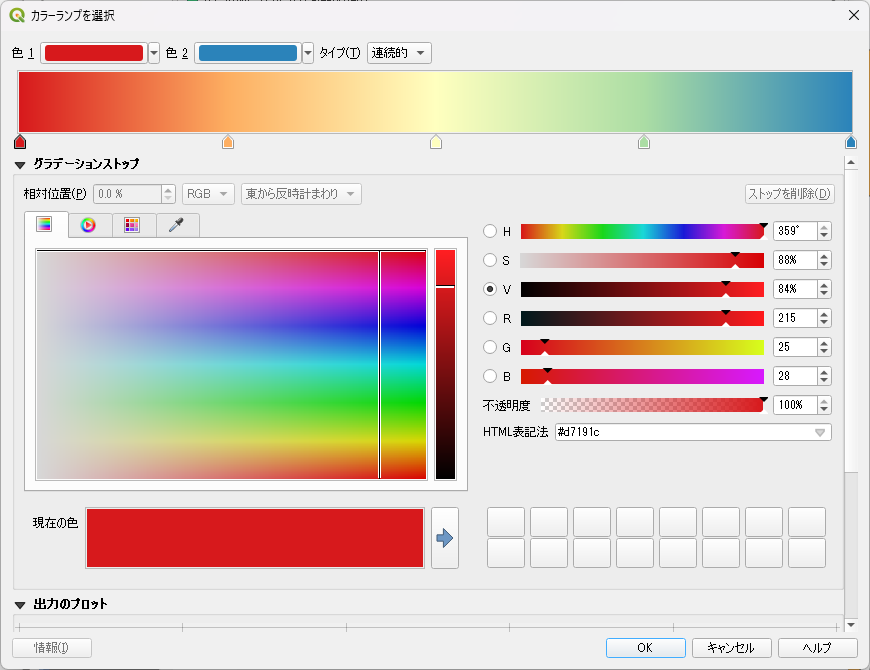
カラーランプを編集する.
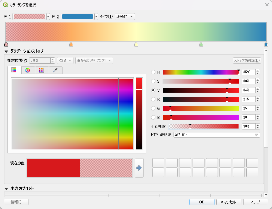
ここから不透明度を変えていく.
不透明度を30%に下げた状態.
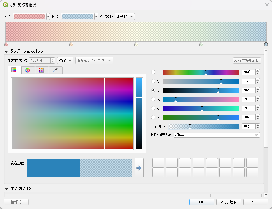
すべての不透明度を30%に下げた状態.
OKをクリックすると下図のようになる.
適用,OKをクリックする.
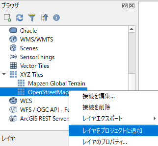
OpenStreetMapのレイヤをプロジェクトに追加する
ブラウザのXYZ TilesからOpenStrrtMapのレイヤをプロジェクトに追加する.
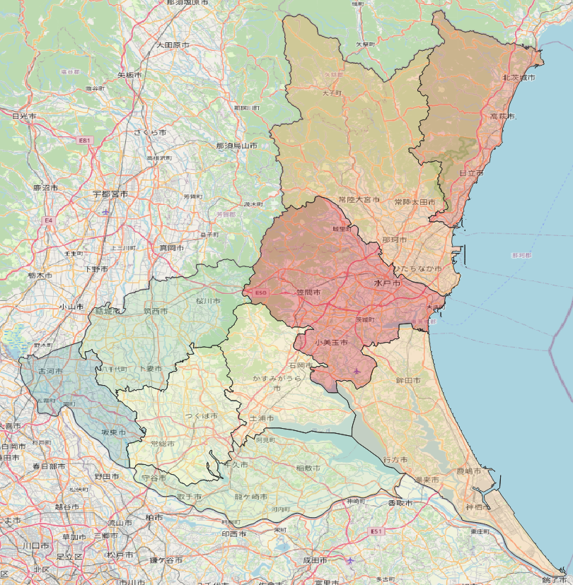
結果
レイヤの上下を入れ替えると下図のようになる.